Homepage
Learn about North Carolina’s Climate and Weather
Whether you’re a student, an educator, or a lifelong learner, this website is designed to provide educational content and classroom-ready, North Carolina-tailored activities to facilitate learning more about our climate, weather, and climate change in the state.

Let’s meet!
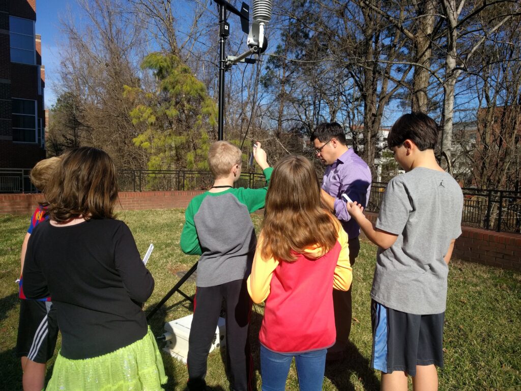
The staff and students at the NC State Climate Office all have professional training in climate and related fields and frequently give presentations or answer questions related to North Carolina’s historic, current, and future climates. If you would like us to visit your school or program (virtually), please email us at outreach@climate.ncsu.edu. Our team is small but we take every request seriously and try to meet it.